- Beranda
- ...
- Aksesoris Survey
- Software LiDar 360 MLS & LiDar Point Clouds


Software LiDar 360 MLS & LiDar Point Clouds
LiDAR360 MLS is a feature intelligent extraction and analysis software. It has a complete processing chain from MLS point cloud data processing to road asset survey,road maintenance, high definition map and other industry results delivery. LiDAR360MLS accelerates information extraction with intelligence and depicts the real world with digitalization.
Multi-Platform Support 100 Processing And Editing Tools
LiDAR360 MLS has nearly 100 point cloud processing and editing tools. It supports point cloud and camera images of mainstream mobile mapping systems on the market for processing and mapping. Combination display of multiple attributes, with additional attributes, to meet more application requirements.
One-Stop Point Cloud Preprocessing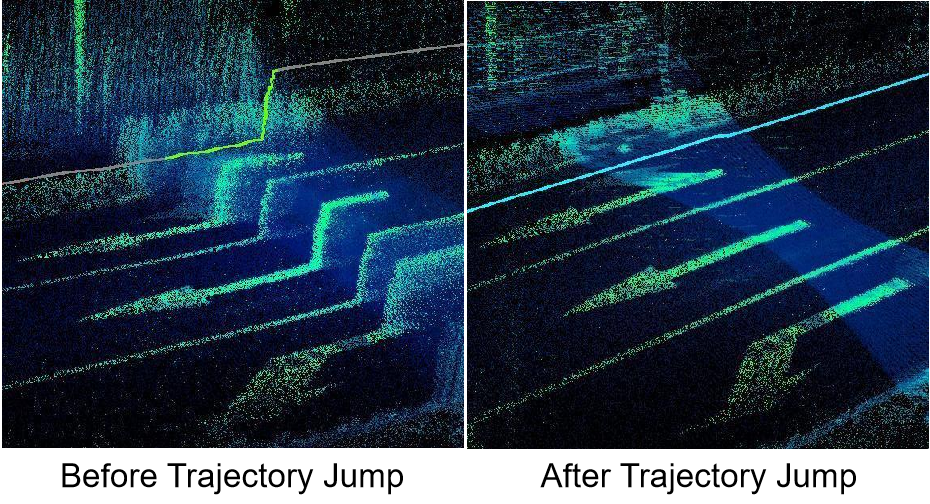
Powerful Point Cloud Classification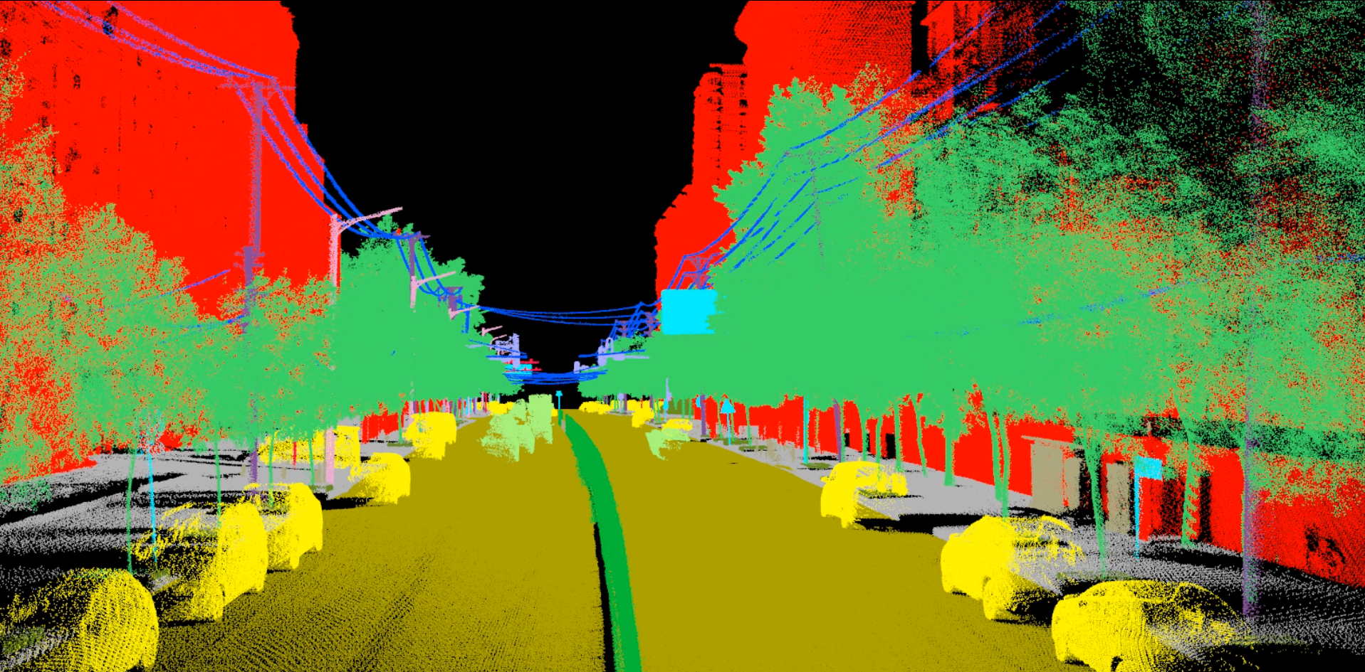
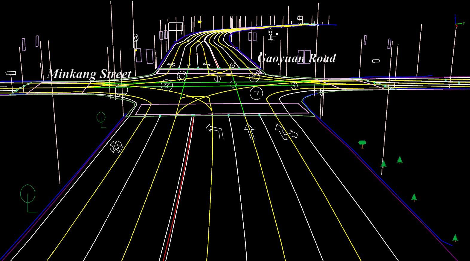
- vector mapping wiht multi-source data fusion
- 3D mapping based on point clouds
- 3D mapping based on imagery (panoramic/planar/ortho)
- Over 100 vector mapping, processing, editing tools
- mnultiple out format, seamless integration with GIS, CAD and simulatin platform
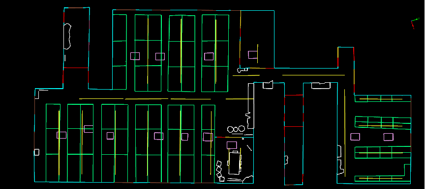
- Automatic vectorisation function for floor plan
- DXF export for floor plan vectors
- one-clik export for blue print
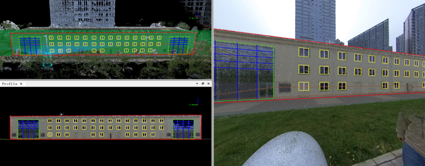
- Provide multi-mode baseline collection method
- Provide convenient facade element drawing tools
- Using panoramic images to assist facade survey
- Provide accurate length and area calculation funtion, and support exporting table in other format
- Exporting DXF, prthophoto result data, etc
LiDAR360MLS supports detailed classification of tree trunks and canopies, individual tree segmentation, and calculation of over 10 parameters. It provides seed point extraction and parameter calculation independent of individual tree segmentation. It also supports generating and analyzing thematic maps of ecological landscapes.
Related Products

- Beranda Beranda
- Semua Kategori Semua Kategori
- Minta Harga Minta Harga
- Tentang Kami Tentang Kami
- Hubungi Kami Hubungi Kami
- Syarat & Ketentuan Syarat & Ketentuan
